Seahenge Day - the HolmeTimber Circles, Norfolk

I made an awesome heritage day trip yesterday.  My first encounter with Seahenge (Holme Timber Circle I) occurred in 1998.  I was living at Thetford, and made daily visits to a local dig of a Pagan Saxon site there, by the NAU (Norfolk Archaeological Unit).  On my last visit, the young digger remarked that he was being relocated to a remarkable timber circle rescue dig on the North Norfolk coast.

It was an eroded timber circle, with an inverted tree stump at the centre.  It was dated through dendrochronology to be 4,060 years old (2049 BC) felled and erected during the Early Bronze Age.  There were concerns that the site could soon be lost to sea erosion.  An attempt was launched by the NAU in collaboration with the TV show Time Team, to remove the timbers from the beach for conservation.  There was significant protest by both local groups, and by neo-pagans, that felt that the timbers should be left on the beach.

The removal continued despite the protests.  It has been postulated that it may have been used as a small shrine, or perhaps as a burial chamber - with the corpse placed on top of the inverted tree stump "altar".

I next saw the timbers a few years later, under preservation process at the Flag Fen archaeological museum near to Peterborough:

The tanks at Flag Fen were under canvas, and you could literally touch the timbers in the water tanks.  Since preservation was completed, most of the timbers, and the tree stump "alter", have been on display in Norfolk, at the Kings Lynn Museum.  I've visited it several times over the years, but I had never been to the original site.  Until yesterday!

I parked the car back near to the White Horse pub in the village.  I wanted to take a short pilgrimage of a few miles to the spot that I had identified from grid references online.  It also follows where the Peddars Way joins the North Norfolk Coastal Path.  Two long distance trails that I completed with my dog years ago.

Been there, done them, got the T shirt.

The path follows behind the sea dunes and a stretch of freshwater marsh - that is most likely, similar to the environment that the timber circles were built in.  Sea erosion over the past 4,000 years has been driving the sealine and dunes back.  The dunes must have gradually crossed over the timber circles as it slowly retreated, leaving the archaeology on the beach surrounded by the eroding features of ancient fresh water marshes.

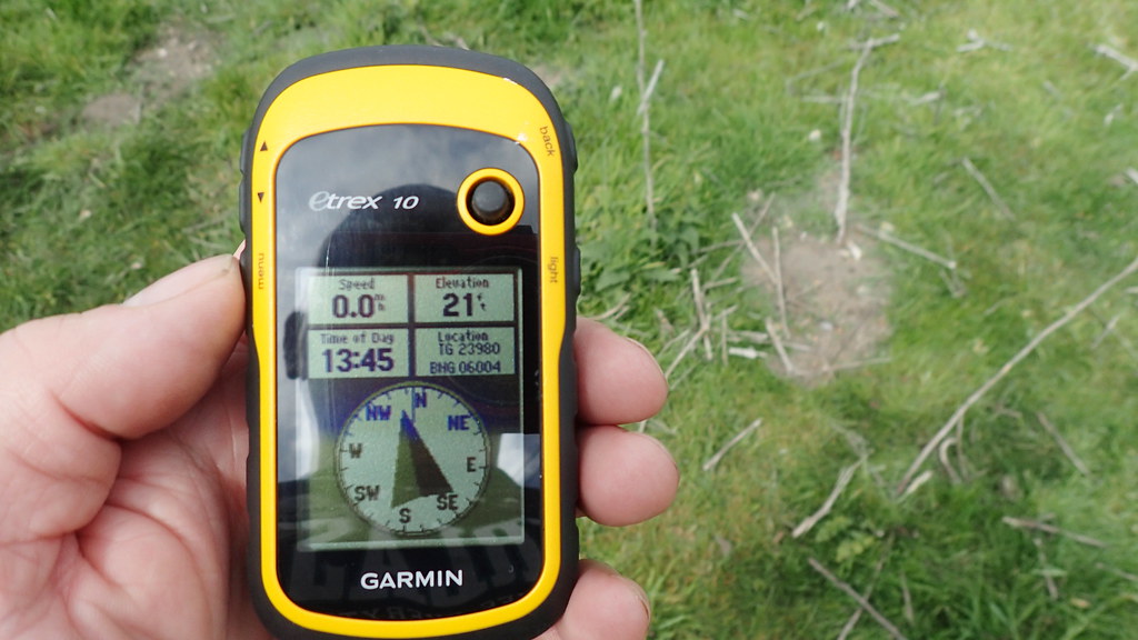
I had pre-programmed my trusty handheld GPS unit to track down the find spots.

I can't tell you how much I loved retracing my old steps along this section of the North Norfolk Coastal Path.  It's beautiful:

When I started to near to the point, and to the archaeological site, I safely traversed a foot path down to the beach.  An awesome, beautiful day:

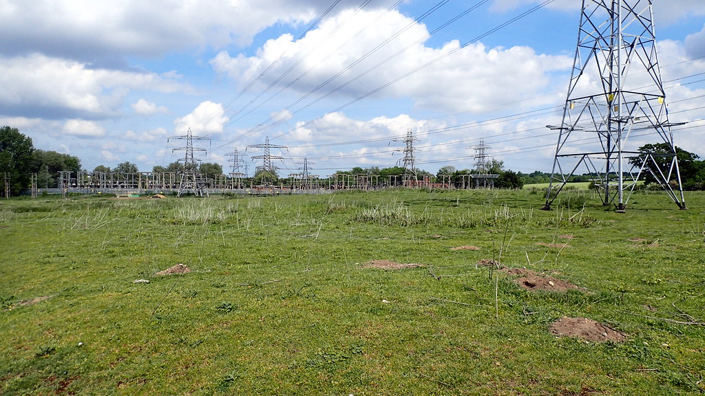
I followed the GPS to the find spot here.  During the dig, it was alongside a patch of ancient marsh mud.  It's all gone.  Just bleached sands now.  A few years after removing Seahenge (Holme I), a second timber circle (Holme II) and altar was spotted close by.  It was a larger circle, with planks rather than posts, and signs of a timber causeway near by.  Following the experience of the public opposition to removing Holme I, it was decided this time, to leave this other timber circle in-situ.  Today, it appears to be gone.  Eroded away by storms and tides.  Clearly, the archaeologists and conservators were perfectly correct to have removed the smaller circle for preservation.  The above photo looks across where the two circles were.  A metal rod presumably left to mark the spot of Holme I:

More modern timbers can be found closer to the eroding marsh mud:

Some timbers on the site have also been identified as being much older tree stumps from the old marsh.

Then it was off the Kings Lynn Museum, in order to revisit the timbers of Seahenge (Holme I) circle:

Below, a reconstruction of an Early Bronze Age man (carrying a flat bronze axe), based on the dress of contemporary bog bodies found in Denmark:

Finally, a display case with other Bronze Age finds from the area:

Population Genetics Discussion.

Only within the past few weeks, a major new study of ancient European DNA has suggested that the earlier Neolithic peoples of the British Isles were largely replaced (or even perhaps displaced) by a new people carrying an artifact assemblage that we call the Bell Beaker Culture, most likely arriving first in Southeast Britain, from what is now the area of the Netherlands.  They would arrived in the British Isles circa 4,200 years ago.  This is just previous to the Holme Timber Circles.  The conclusion would be that most likely, the timber circles on the North Norfolk Coast were the burial practices of this new Beaker population.  However... the story remains to be detailed, or even perhaps rewritten with future study.

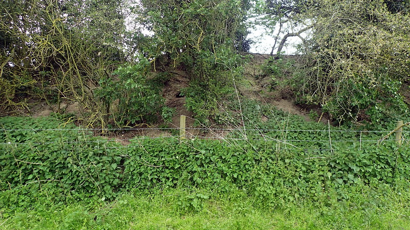
Arminghall Henge, Norwich, Norfolk

This afternoon, I decided to visit Arminghall Henge. Only 55 minutes cycle ride from my home, it sits just outside of the Norwich southern bypass, near to County Hall. It was not in any way sign posted. Not as much as an information sign. Even though the "Boadicea Way" trail runs right past it:


Indeed, the only way that I found it was through online resources and my GPS:


It was first spotted in 1929 - a first in the history of aerial photography for archaeology. It was excavated in 1935:


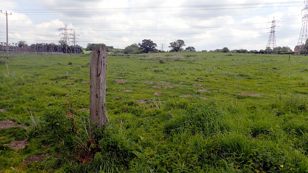
The ambiance can only detected by the imaginative. As a seasoned time traveller, it gave me the kick, despite it being in a horse field, with overhead HV power cables, right next to a major power sub station for the City of Norwich:


Not really an attraction for tourists. No standing stones. this is East Anglia, we don't have boulder-stones. The Neolithic creators of this site erected earthworks and massive timbers - the post-holes that sometimes be seen from above. Incidentally, in archaeology, a "Henge" is not a stone circle. Stone circles were sometimes erected inside a henge, often later. It's a circular bank and ditch earthwork, with the ditch on the inside - as though keeping something in - a defensive rampart has the ditch on the outside. A henge keeps something "in". Interesting is that the most famous henge - Stonehenge, breaks that convention.


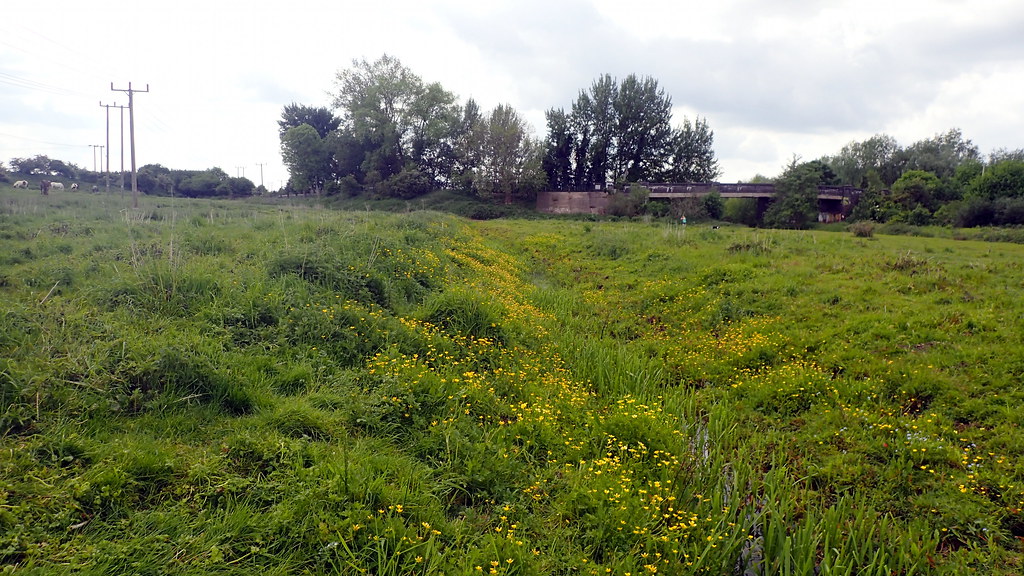
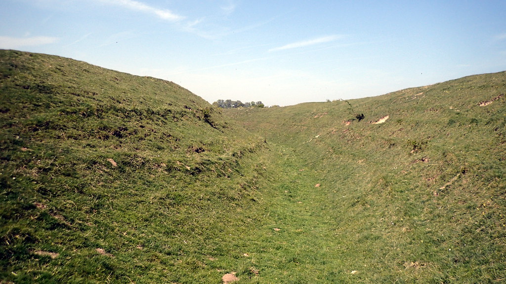
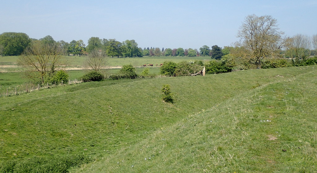
Looking up at the site of the Henge from the nearby water course at the bottom of the valley.


and the modern water course itself.

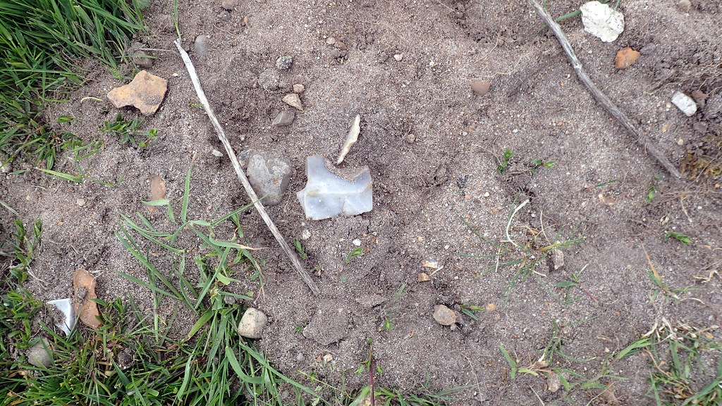
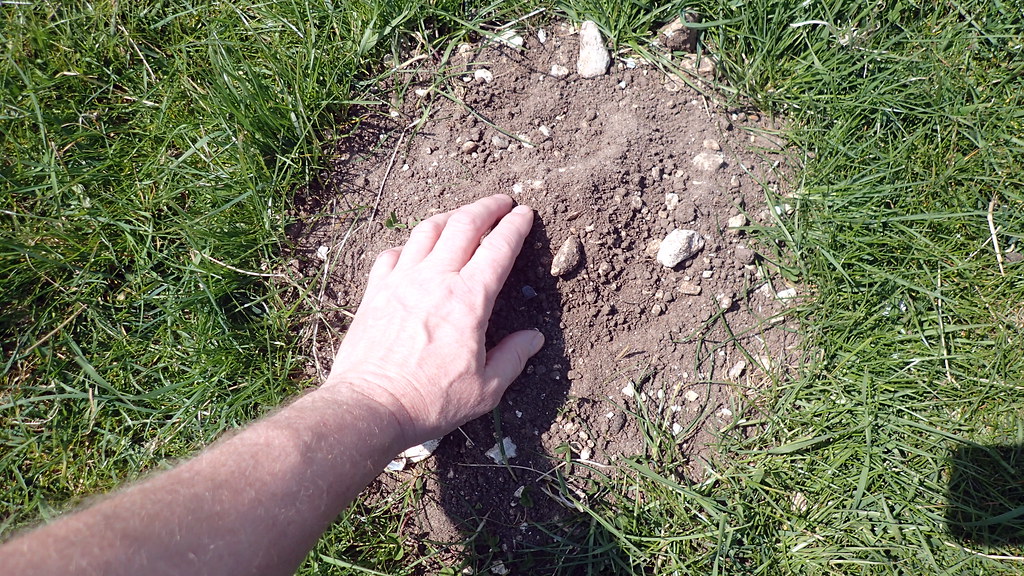
If you've seen my posts in this section before, you know that I like to do a little mole hill archaeology:


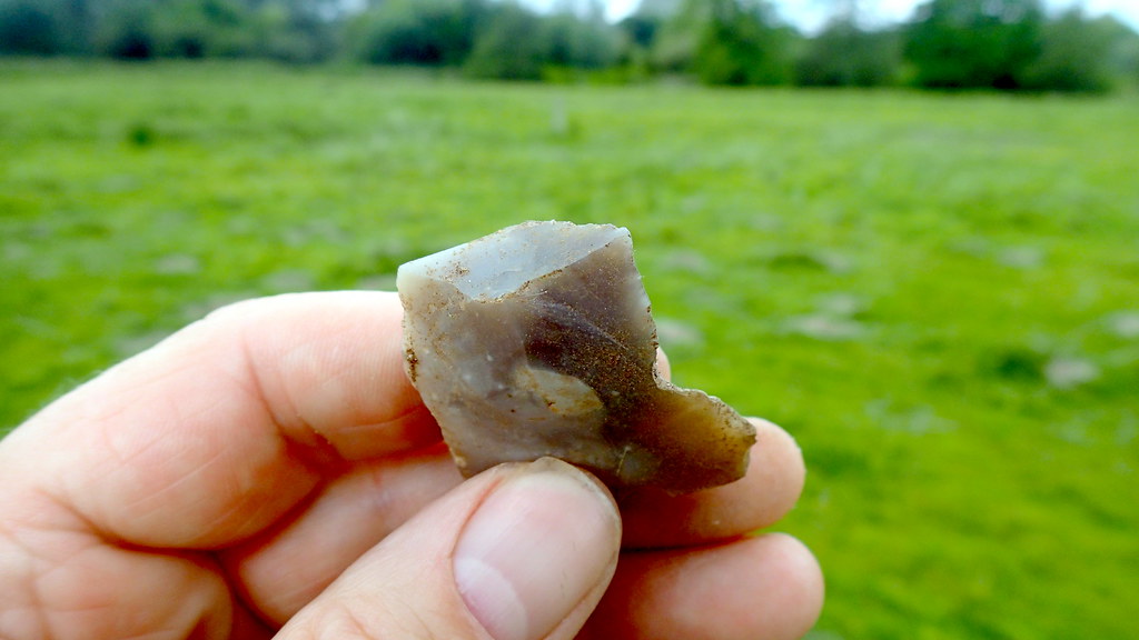
Yes, that's a flint flake in the mole hill. Displaying it's dorsal surface, showing the scars of previously removed flakes.


An inspection before returning it to it's topsoil context. I'm here showing you the striking platform, point of impact, and conchoidal fracture bulb. On the right, I can tell you it has wear from being used as a "notched flake", maybe to clean a bone, or an arrow-shaft or similar.


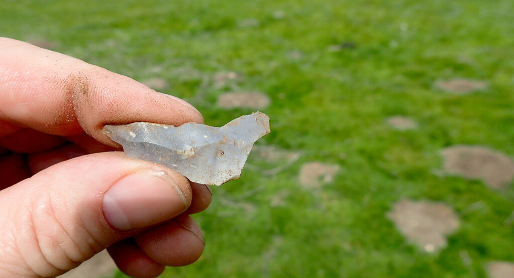
Another flint flake, dorsal surface, showing the scars of previously struck flakes from the core.


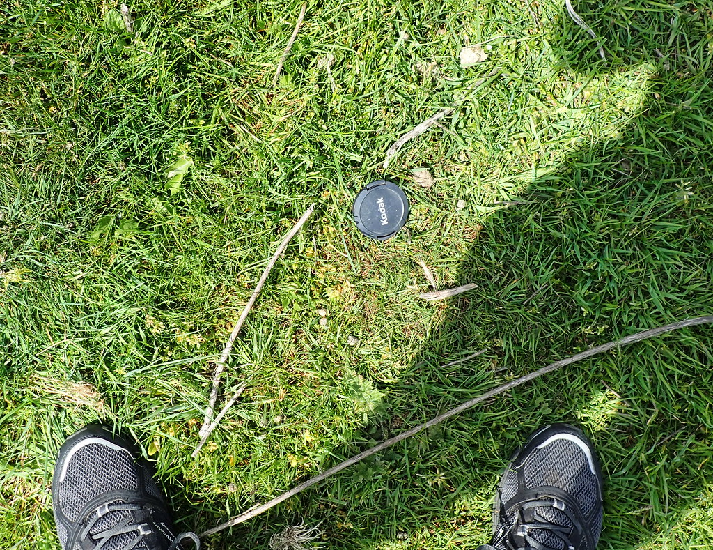
Finally, more recent archaeology. A lens cap circa AD 2010?

I hope that someone out there gets some enjoyment from these third person explores of East Anglian sites.

Day Trip to Grimes Graves, Norfolk

Dog-sitting duties yesterday for this old fellah:

12 years old, and with a large out of control tumour on his back, it was awesome to take him into the forest again, even though he ran away - just like he would as a young dog.  He had me running around this monument looking for him:

Thetford Warren Lodge, the handsome ruin of a medieval rabbit warrener's fortified house.  Possibly commissioned by the nearby Prior of Thetford Cluniac Priory.

After our little adventure, I dropped the dogs off to keep cool during the mid day, and then took the opportunity to revisit an awesome prehistoric site in the Thetford Forest area, the Neolithic flint mines at Grimes Graves.  It use to be a regular haunt of mine.

This is an aerial view of the site.  An almost Martian landscape of craters and earthworks.  Surveys have recorded a total of at least 430 shafts sunk into the ground.  Each reaches down to a seam of black flint known as floor-stone, about 10 meters down from the surface.  Shallow galleries then radiate along this layer of floor-stone flint in all directions.

Until excavations revealed the nature of these craters during the 19th Century AD, no one knew what this landscape represented.  The Anglo-Saxons named it Grimes Graves, after the god Woden (Grim). They set all of the local parish boundaries to meet at the site, where they erected a moot hill, a meeting place for the hundred.  Later antiquarians suggested that it was the site of Danish encampments.

We now know that these craters are the scars of a remarkable flint mine complex, that was in use during the Neolithic period between 4,675 and 4,200 years ago.  Each year, an average of one shaft was mined.  The tools that they used appear to have consisted largely of picks made from red deer antlers, stone axes, and tools made from wood and basketry.  So many red deer antlers appear to have been used, that it has been estimated that they will have needed to manage a population of 120 red deer in order to supply them!

One shaft is presently open to the general public, but there are plans to reopen another shaft later this year.  The English Heritage site has a small museum and presentation on the site:

From there, you can walk over to Pit 1, the shaft open to the public.

Descent to the floorstone level is via a sturdy 30 feet ladder.

The galleries themselves are not open to public access, for reasons of safety.  However, you can enter some of them a short distance before reaching barriers.

It is a little bit of a mystery as to why they were going to such dramatic and exhaustive efforts to mine this flint over a 475 year period.  There is plenty of good flint much closer to the surface, even on the surface.  However, the floor-stone flint has a particular fresh looking, black colour and quality.  It may have even had a ritual value, for coming so far deep out of the earth, and even for being so difficult to mine.  Here's a reconstructed Neolithic axe that I could play with, made of local black flint.

I got a little dirty crawling through the galleries.  Notice the exposed chalky spoil on the surface.  Moved there thousands of years ago by the Neolithic miners.

It's a beautiful place, the Martian looking craters, spoil heaps, often grazed by sheep, and nested on by larks.

I thought it was also recording that Anglo-Saxon moot-hill on the edge of the site.

Discussion - Population Genetics

Okay, so where does this site sit in with the latest news in population genetics?  The population that mined this site for so many years, was most likely (based on ancient DNA from other British Neolithic sites) largely descended from farming immigrants from the South, that arrived in Britain some 6,100 years ago.  The men most likely had I2a Y-DNA haplogroups, and the population today that most resembles them today are the Sardinians.  Their ancestors may have migrated from Iberia, but ultimately, some of their ancestors at earlier dates, had moved along the Mediterranean from an origin in Anatolia and the Levant.  They brought with them, the technologies, livestock, and seeds of the Neolithic Revolution, that had exploded in the Fertile Crescent of the Levant, and the Tigris / Euphrates valleys some 10,000 years ago.

The mining stops around 2,800 years ago.  This corresponds well with what we now believe to be the arrival of a new people - the Bell Beaker People, that had crossed the North Sea from the Lower Rhine area around what is now the Netherlands.  They most likely brought with them, the first horses, and the first metallurgy of copper, bronze, and gold.  What happened to the Neolithic community that had mined for so many years here?  There is some evidence that their economy was falling into trouble, and that forest was returning to many farmed areas.  They may have had their population and social structure depleted by a suspect plague that had reached Western Europe from Asia.  The latest evidence, as presented in my last post, The Beaker phenomenon and genetic transformation of Northwest Europe 2017suggests an almost complete displacement of the British Neolithic farmers by this new population of Bell Beaker.

Thetford Forest Archaeology

The value of the floor-stone flint appears to have fell.  However, it is a fallacy to believe that people stopped using flint.  The new metals were precious, but flint continued to have an importance through the Beaker, and into the Bronze and even Iron Ages.  It has been speculated that the majority of struck flint in the district actually dates to the Beaker and Bronze Ages, rather than to the Neolithic.  Thousands of tonnes of flakes, hammer-stones, piercers, awls, scrapers, notched flakes, and waste cores can be found in the soils to the south and west of Grimes Graves - down to the northern banks of the Little Ouse, and across the Brecks district, and the Fen Edge.  Many years ago, I found a barbed and tanged flint arrowhead very, very close to the Grimes Graves site.  This class of arrowhead belongs to Bell Beaker assemblage.  They were here, salvaging the tonnes of discarded flint on or close to the surface of the site.  They carried it down to the river valley, where I can say from my old surface collection surveys, that they struck and worked that flint like never before nor since.

Link to a post about my old Thetford Forest Archaeology Survey.

Some of the worked flint that I recorded in the area.

Indeed, the excavation of one of the shafts at Grimes Graves revealed that the site was being used during the Middle Bronze Age, where a nearby settlement were depositing their rubbish into a midden in a disused shaft.  The archaeology of the midden suggested that the people living there then were most likely dairy cattle farmers.

That's Grimes Graves done.

Warham Camp


Another day off today, another local photo trip. I hope no-one here thinks that my photo tours in East Anglia are some sort of narcissistic attempt at educating others. Far from it. I'm so bloody lucky to have been born into a land of ancestors, that I want to share my time travel accounts with cousins here that today, live far away.

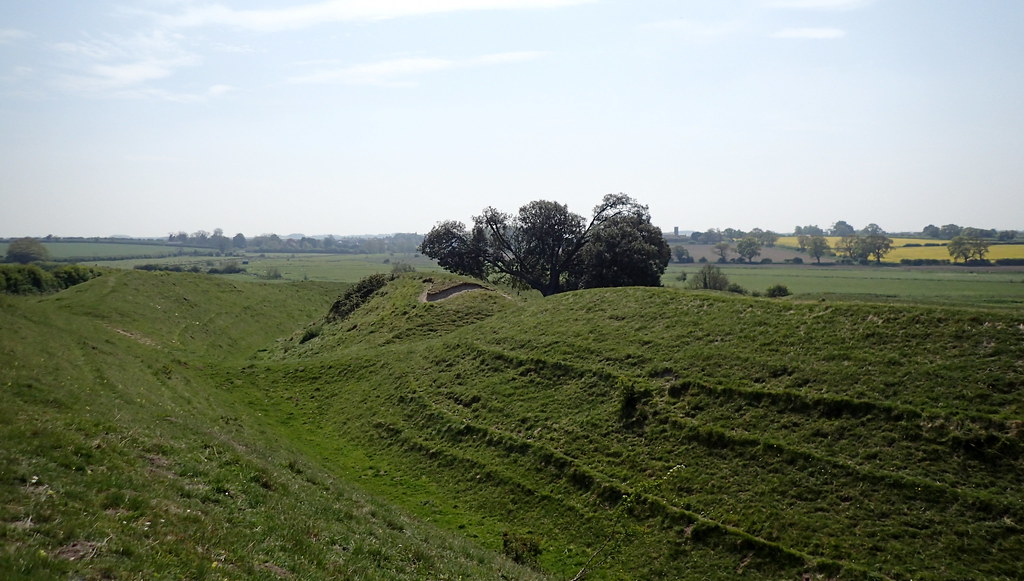
Warham Camp screamed out at me this morning. Never visited this one. An Iron Age site in North Norfolk. We call these monuments "hillforts" because in other parts of the British Isles they are often built on top of hills. Here in the lowlands of Norfolk, we don't have much in the way of hills. That doesn't mean that we didn't have an Iron Age. Iron Age Britain - is often referred to as Celtic Britain. I'm really not sure what Celtic is - I can see very clearly that it's different to different people. But, for myself, I understood Celtic as as the collection of loosely related Iron Age cultures of the British Isles and the Atlantic Seaboard of Western Europe.

The Romans went to lengths to describe and record the Late Iron Age "tribe" or nation of Norfolk as the Iceni (Ick-ean-ee). Local archaeologists have suggested that this was a Late Iron age confederation of smaller tribes, with at least three centres within what is now Norfolk. The Roman records mark the end of innocence, or prehistory.

Some of my earlier photo tours have emphasised that there were serious power shifts in Iron Age / Celtic Britain before the Claudian Invasion. Elites were shifting, and warring for access to Romano-Gallic trade across the Channel. However, this site, predates this flurry of politics, and is dated to construction around 200 BC or so. However, it's use, appears to have continued through to the Roman period.

On the way, I saw so many towers of so many medieval Norfolk churches. There are 700 parish churches in Norfolk, most of them medieval. You can't walk far before you see a tower. Often you see two or three. I did once read that Norfolk has more medieval church buildings than any comparable chunk of earth anywhere else. I don't doubt it. It is a monument to the agricultural success and national importance of Norfolk to Medieval England. Norwich was the second city only to London until the 18th Century.

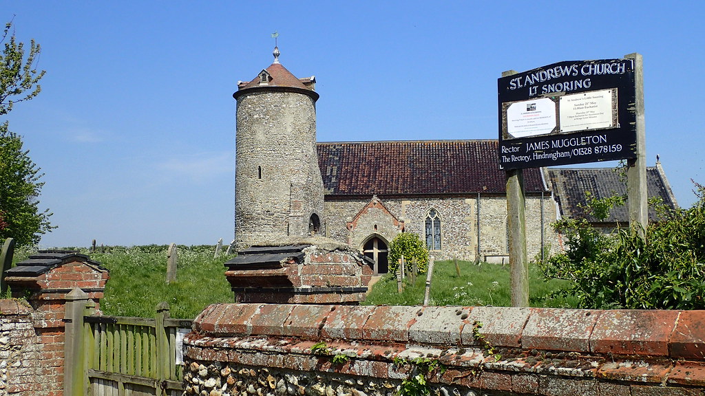
I couldn't resist this beautiful round tower example at Little Snoring:


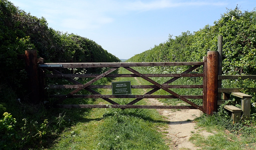
Google Earth took me through miles of beautiful May single carriageway roads to this:


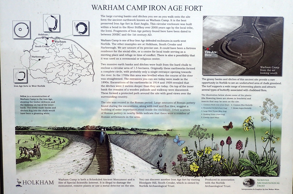
The local information board was good:


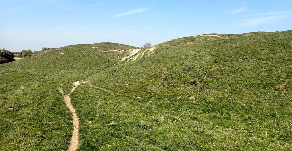
I enter the site:


A site needs to be seen in it's landscape:


I can't resist a little molehill archaeology:


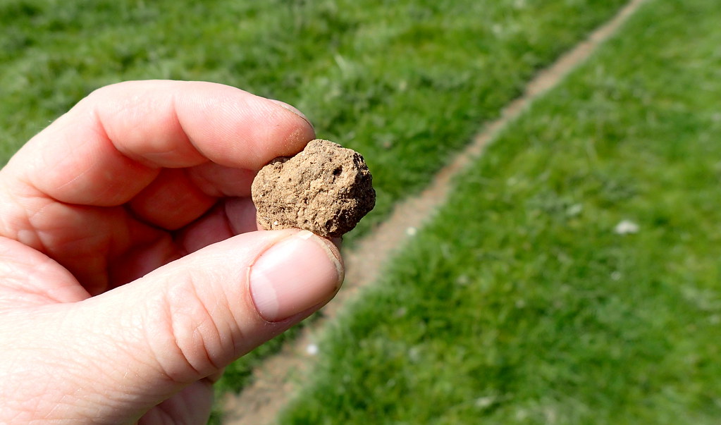
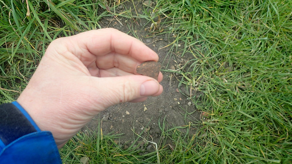
Looks like prehistoric ceramic, but maybe Bronze Age. I put it back. One last look:


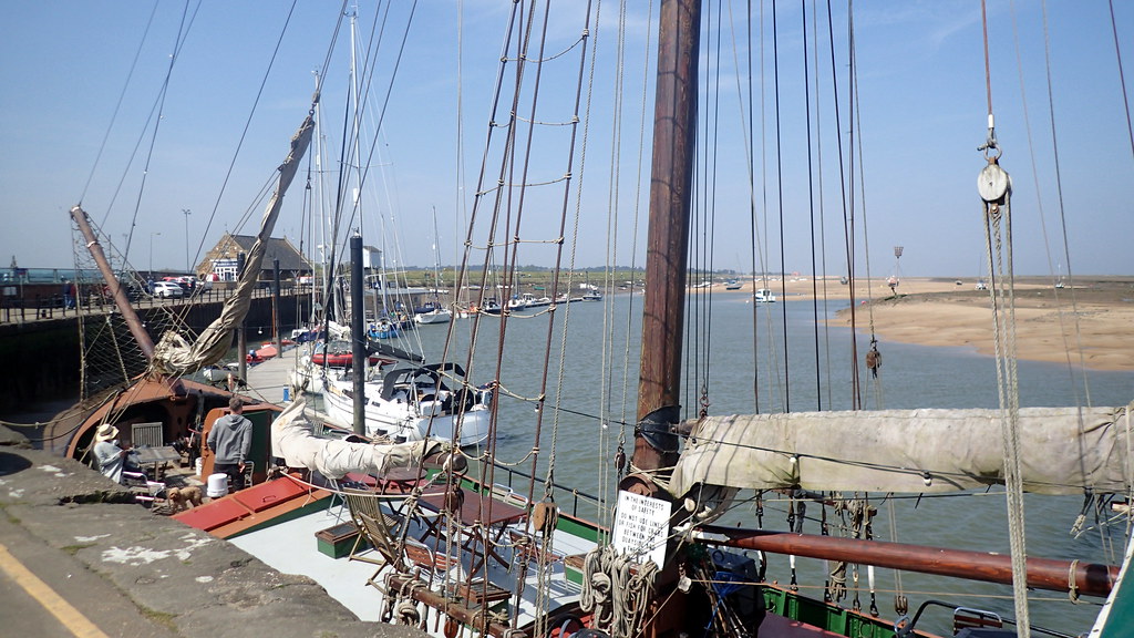
Then I drove a few miles north to Wells-Next-To-Sea in order to eat whelks. I love the sea air:


Another time travel.


Our Norfolk wherrymen ancestors of Reedham


Image above by Snapshots Of The Past (Wherry leaving Wroxham England) [CC BY-SA 2.0], via Wikimedia Commons

I've long wondered about some of the ancestors of my great grandmother Flo Curtis, on my mother's side.  She was born at Freethorpe, Norfolk in 1884, as Florence Key.  She is standing in the below photo, on crutches, behind my grandfather who is holding his daughter:


Florence's father, George Key, was a local carpenter of Freethorpe, and her mother was born as Sarah Goffen at the nearby riverside village of Reedham in 1853.  Here is Sarah, standing behind my grandparents wedding in 1932:


Sarah most likely met young George Key through trade links from her late father, Richard Goffen, who is recorded on census as a master carpenter of Reedham.  He was also recorded as an inn keeper or publican at a pub that was called the Brick Kiln at Reedham, close to the river.  Reedham was an important river side parish along the River Yare.  The river connected the medieval City of Norwich to the North Sea via Great Yarmouth. Rich pastures lay to the east of the village on the marshes of the Halvergate Triangle, which with Breydon water, once formed a great sea estuary.  A ferry crossed the strong tidal waters of Reedham.


Now, I have indeed found the evidence that the Goffens of Reedham were involved with the Wherry trade.  Until the late 18th Century, most cargo and passengers along the Broadland waterways of East Norfolk were carried by the old square mast long boats known as the Norfolk Keel:


Then from the early 18th Century, a newer series of vessel designs started to take over on the lowland waterways of the Norfolk Broads, that featured a high-peaked sail with the mast stepped well forward.  They corresponded with a great age of Norfolk windmills and wind pumps.  The classic Norfolk wherry.


Nancy at English Wikipedia [CC BY-SA 3.0], via Wikimedia Commons

The men that sailed them were often regarded as a particular breed.  They lived on the waterways, in small cabins fitted with a stove.  Moving cargoes and in some cases, passengers, between Norwich and the port of Great Yarmouth.  In 1833, a new canal named the Haddiscoe Cut, was opened up near to Reedham, that also allowed vessels to trade to Lowestoft in Suffolk.  The watermen carried cargoes of coal, timber, lime, chalk, cement, ale, grain, and other goods up and down the waterways of East Norfolk.

My ancestor, Richard Goffen was a riverside carpenter and inn keeper at Reedham, and almost certainly was involved with this trade.  I've suspected that for a while, but now I can see just how deeply his family were involved.  A census records that two of his brothers, Edward Goffen born at Reedham in 1793, and John Goffen born there ten years later were both indeed, watermen, with John specifically recorded as a Wherryman.  Brother Edward Goffen was also an inn keeper at another riverside Reedham pub, the Lord Nelson.  The whole family appear to have been involved with river trade, with a fourth brother, James Goffen born at Reedham in 1806 being recorded as a lime burner and coal merchant.  Without a doubt his coal, chalk, and lime were being transported along the river, possibly by his brothers.  As a family, they appear to have been particularly successful in this trade.  Wherries were being built at Reedham, and I suspect that our ancestor may have been involved as a carpenter in the boat building trade.

All four Goffen brothers were born at Reedham, to Richard and Judith Goffen (nee Shepherd). Richard the senior was most likely born at nearby Strumpshaw in 1731.  I have no record of his occupation, but I wonder if he was also involved in the river trade, that inspired his four sons.

Marriage of Richard Goffen (senior) to Judith Shepherd at Reedham in 1793.  This was his second marriage, after his previous wife Ann (nee Mingay) passed away.

Their son, Richard Goffen (junior) also married twice. I believe that his first wife was one Elizabeth Scarll, who he married at nearby Cantley in 1821.  In 1843, he married our ancestor Elizabeth Nicholls, who then at the age of 21, was no less than 27 years his junior.  This didn't stop them having seven children between then and 1860.  Clearly his trade supported him well at the Brick Kiln inn.

Richard (junior) died in 1861.  Elizabeth went on to marry again, this time to a Matthew Bush of Freethorpe.

That's my family link to the classic icon of the Norfolk Broads.  The Norfolk Wherry.

Tas Valley - Local Day Trip

Another day off from work. I didn't want to go far today, the weather has turned pretty poor for photography and travel. So a couple of very close sites here in Norfolk. According to current genetic studies of the British Isles, the Roman period doesn't seem to have had any noticeable impact on the population genetics of the British Isles. I think that they are missing something.


Venta Icenorum

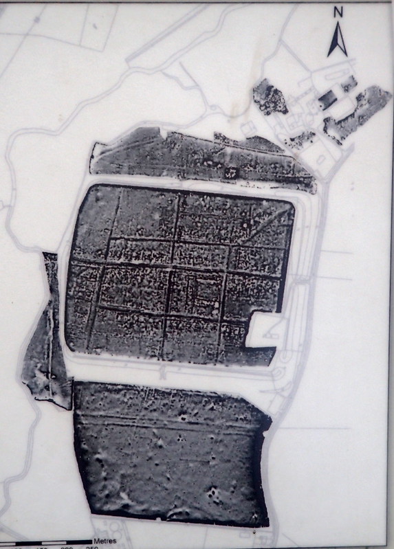
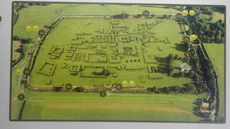
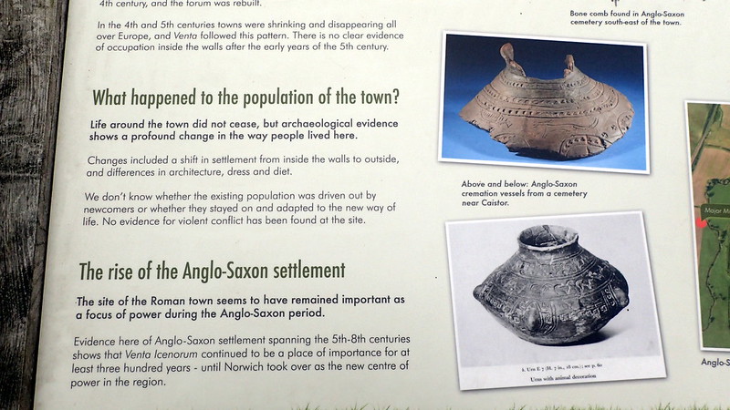
First of all, on the Roman front, I visited the site of the Roman town Venta Icenorum, at Caister St Edmund. A display at the site displays this geophysical display, and the following relief:


Entering the field, this is what it looks like:


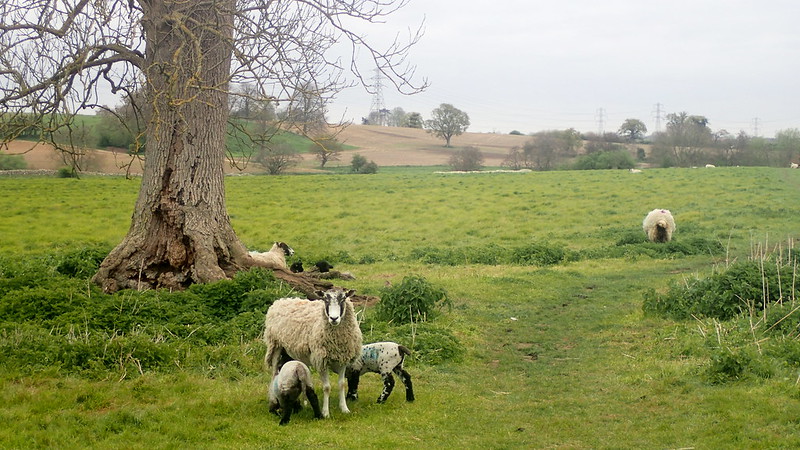
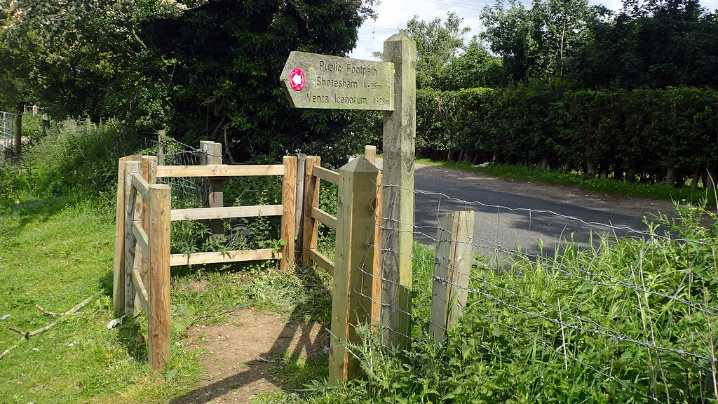
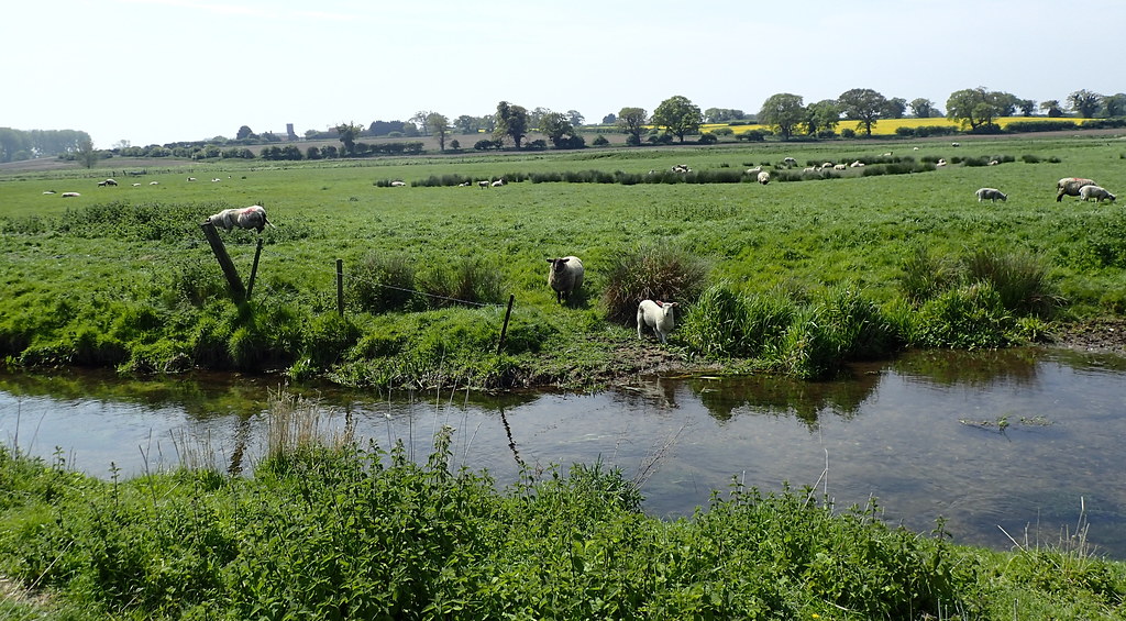
Heritage groups have preserved the current site by protecting it from cultivation - hence the sheep. The town sat in the valley of a very small river called the Tas. The site is several miles to the south of it's medieval equivalent, Norwich. Questions are being asked, why was it here? The Romans of course were urban people, that controlled from towns, but why here? It was first laid out as a grand plan some decades after the local Boadiccan Rebellion. No sign of significant Iron Age on the site, but some suggestion of a nearby Roman military encampment.


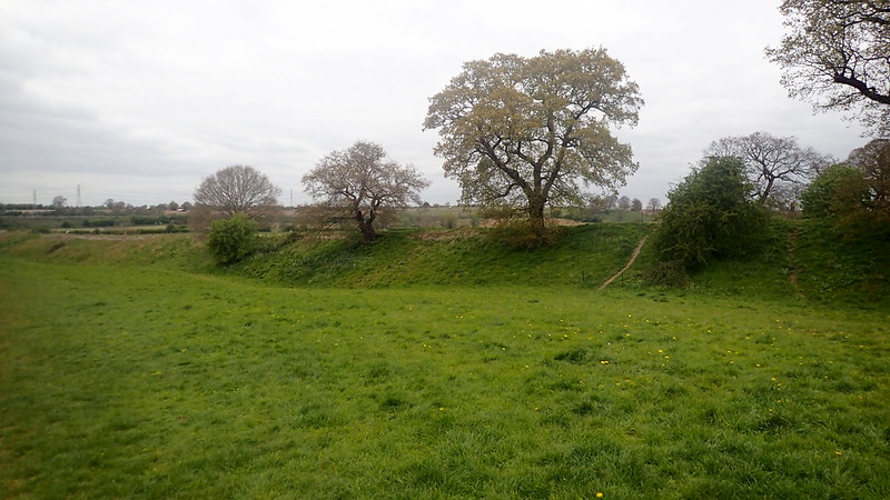
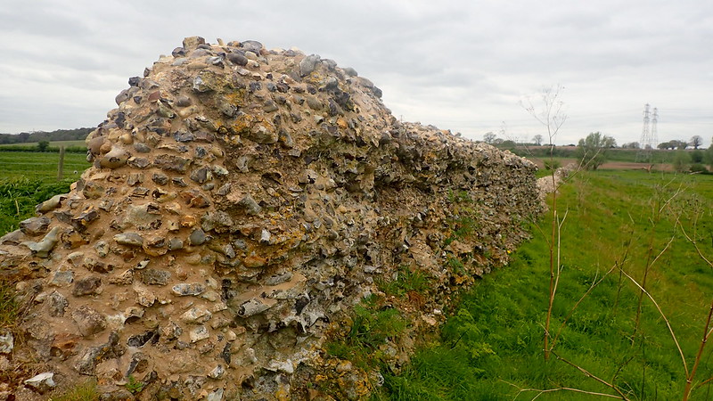
The town has gone, and is best viewed with geophysical maps or by aerial reconnaissance photos. However, it's "defenses" or boundaries are still clearly visible.


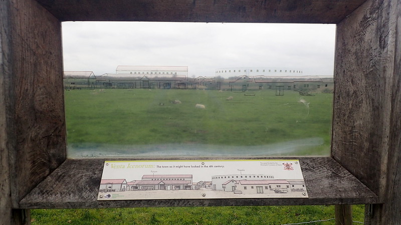
The below is a nice feature. A clear perspex panel showing proposed building outlines over the field:


Years ago as I've said before here, I was a very keen voluntary field-walker, or as I'd have preferred "surface collection surveyor". So as I walk across the field, I can't help spotting Roman tile in the mole hills:


The area of Venta Icenorum is very rich in later Anglo-Saxon finds. They do seem to have been attracted to this site, even though the town had long been abandoned before they arrived from the Continent.


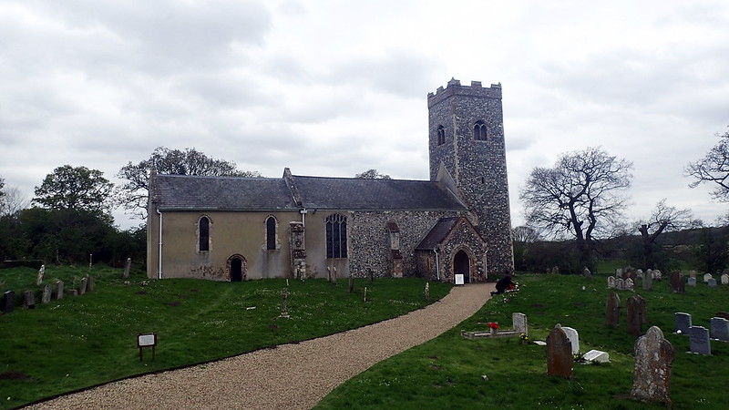
As is very common in both prehistoric, and Roman sites, a medieval church stands within the limits of the site. As a sign of continuity, as a scavenge of building material - but also in order to claim dominion over older beliefs, and a return to civilisation:


I hope that you enjoyed Caister St Edmunds. I still had some time to spare, so I decided to visit a site a few miles to the south in the same Norfolk river valley, that I hadn't visited before:


Tasburgh Enclosure

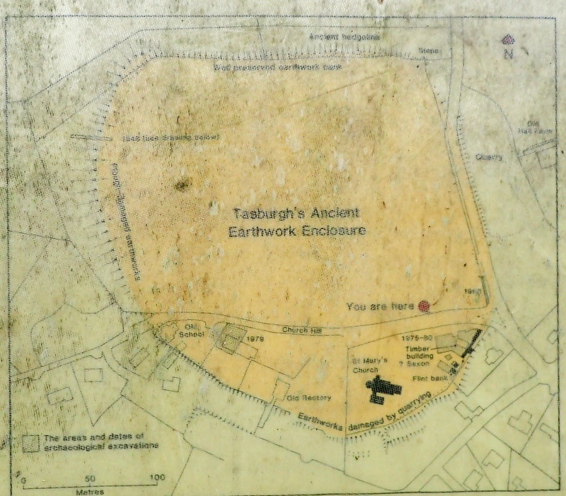
This one is an enigma. An enclosure in Norfolk. I always understood it as an Iron Age Hillfort. The word "hillfort" might not be appropriate in lowland Norfolk, especially as our iron Age enclosures were often in lowland river valleys. Norfolk has a long tradition of "doing different". Excavations have not found Iron Age finds! They have found some evidence of Anglo-Saxon activity, and an opposing hypothesis is that it was a prehistoric enclosure re-used during the wars with the Danes. My personal feeling is that it is late prehistoric, but wait and see - a sign that I found there today seems to suggest some fresh and local based communal research:


A local, rather mucky information board mapping the enclosure:


Outside the northern bank:


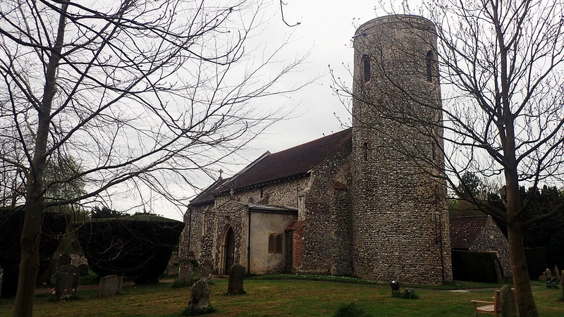
Once again, a medieval church sits inside the enclosure. This one, St Mary's, a classic Norfolk round tower job. I can also boast here, that this is one (there are many) of my own personal ancestral churches on my recorded ancestry. Two of my recorded direct ancestors married there in 1794:


I hope that someone out there enjoys my photo-reports.

A recent ancestral journey with the Daynes of Garvestone and Brandon Parva

An incredibly beautiful sunny day for mid April.  I had a day free, mustn't waste it.  Mustn't waste life.  So on the bicycle, no plan, or idea where I was going.  I ride just down the road intending to explore the local back roads, and I passed this old diesel train sitting at the Wymondham station of the Mid-Norfolk Railway, a heritage line that terminates close to my home. I couldn't miss the opportunity, so bought a ticket to the other end of the line at Dereham, and jumped on board the vintage train with my bike.

Dereham (formerly East Dereham), was the hometown of my father.  Thankfully I had very little cash with me, so could avoid the temptation of tasting the wares of the Dereham pubs.  The journey to Dereham slowly rattled along the old Mid Norfolk railway line.  Once there, I came up with the idea of cycling back to Wymondham via some of my ancestral parish churches.

Such a gorgeous day.  Perfectly warm enough in T shirt and shorts.  Yellow primroses.  Buzzards.  Narrow country lanes, hedrerows, and tracing the footsteps of some ancestors.  I followed a cycle route out of the Mid Norfolk market town, and headed for the village of Garvestone, where some of my mother's ancestors by the surname Daynes (or Daines), had lived during the 18th and early 19th centuries.

The parish church at Garvestone is dedicated to St Margarets.  My 6 x great grandparents, Isaac Daynes and Mary Osborne, were married there in 1754.  I searched the grave yard for Daynes, but the only one that I found, was not of a direct ancestor.  I only found it with the help of a mapped index inside of the church, as the headstone had fallen down and was covered with lichens.  I literally excavated it from the vegetation:

Perhaps my Daynes ancestors were unable to afford headstones.  I decided to next follow their tracks.  They later moved a few miles to the parish of Brandon Parva.  Back on the bike:

I had to ride up a hill through a farm yard to reach the pretty church of All Saints at Brandon Parva:

My 4 x great grandfather Reuben Daynes was baptised here in 1785.  He later moved with his family to Besthorpe near to Wymondham, where my great great grandmother Sarah Daines was later born.  After visiting this church, I carried on cycling home in the sunshine.  Beautiful day.