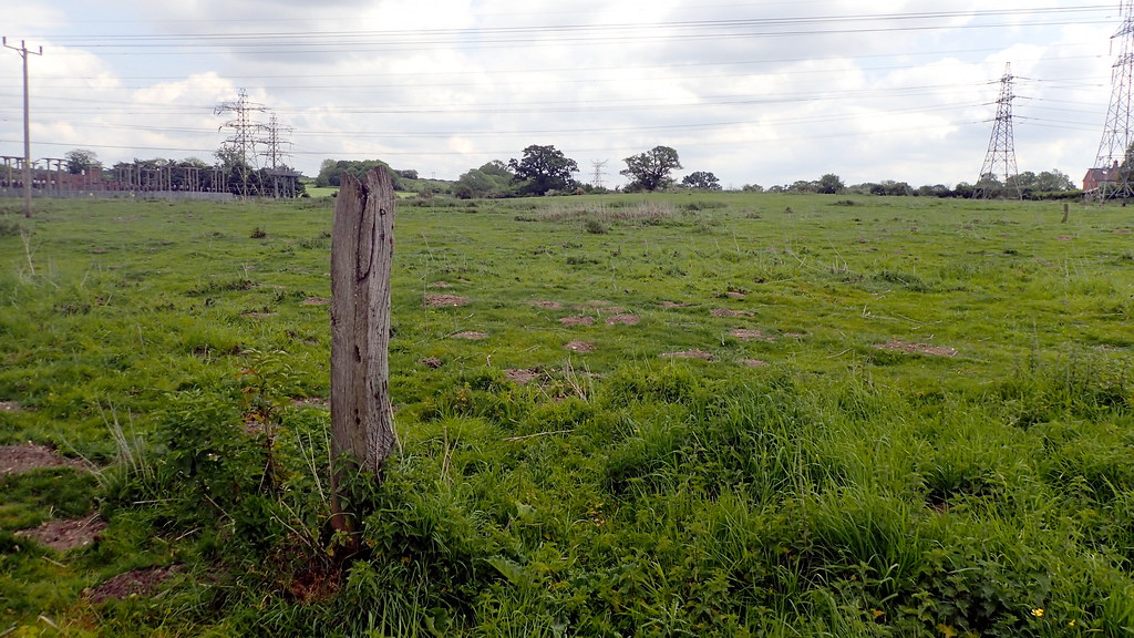
Looking for old images to use on my reconstructed Thetford Forest Archaeology website, I came across some photos of prehistoric struck flint that I had forgotten about. One day in 2019, I was facing a life-changing and very painful process. Consequently I took a walk around the Lynford and Santon areas of Thetford Forest, where I discovered some exposed soils close to the Little-Ouse-River.
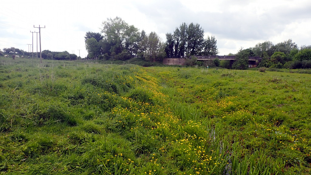
Hyper-focus is my distraction method. I was in the heart of Frances Healy's Grimes Graves Belt of late prehistoric flint flake scatters. There in sight of the river meadows, I found some thick clusters of roughly struck flint. It almost felt as though I was walking through the workshops of knappers more than four thousand years ago. I imagined them roughing out flint to transport away on the river. These scatters appear to be multi-period, throughout late prehistory from the Mesolithic, through to the Iron-Age. But perhaps there is a relationship of increased productivity linked to the flint-mines during the Later Neolithic.

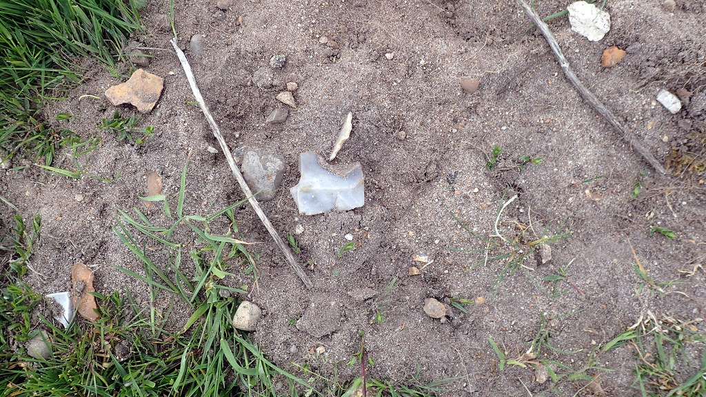
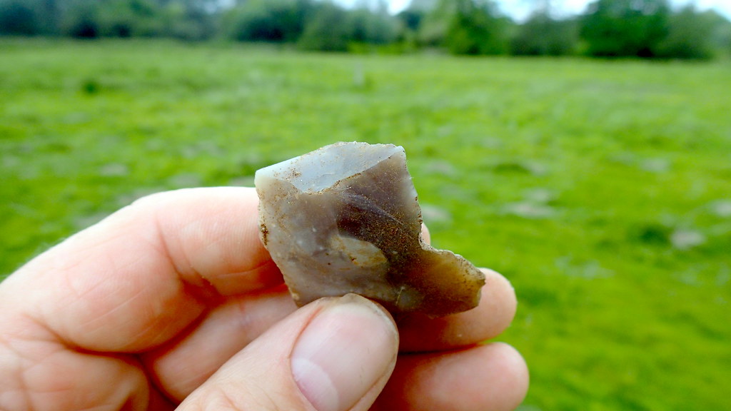
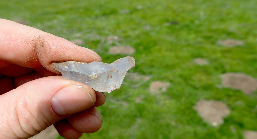
Among the rough flakes and waste debris, I saw several flint hammer-stones, including that which I hold in my hand in the image. I had AI time travel back to the very local, Late Neolithic Grimes Graves flint-mine complex. Perhaps the wrist watch spooked the locals. They were quite happy working when I first arrived:

Actually there are a few problems with the above AI-generated image. You see the pick? The shape of a modern pick, rather than a utilised red deer antler as found in excavations of the flint-mine shafts at Grimes Graves. The AI tried, by giving it an antler colour. And the people are possibly a little too fair for Neolithic EEF (Early European Farmers). The housing in the background might be more representative of a later prehistoric time. I discuss these issues of AI time travel reconstruction in another recent post. But I'm glad that the AI hasn't dressed them roughly like Og the caveman, in badly tailored furs.
You can see in the image below, the crazed, impacted face of that hammer-stone. Look how well it fits into my hand. When I pick up something like this, and hold, feel and examine it, I reflect on the unrecorded life of the last person to hold it over 4,200 years earlier. There wasn't much hard stone in the Brecks area, and clearly the late prehistoric knappers would manage to use flint to fracture flint. Perhaps along with soft, organic hammers and punches for finer work? Reconstruction archaeologists find that antler tines make great punches, and are useful for pressure flaking.

Time is a strange thing. Our lives are so brief. The person that made this tool, and who sat here close to a river, thousands of years ago left no name, no ethnicity. We don't know how they identified, or how they saw the Universe. We do not know the course of their life. There were no records. Perhaps, a 140 to 180 generations have passed between the knapper's life, and my own life. Other than this hammer-stone and some lithic debris, they passed through a process of existence that was no less important than that of any other living being. Looking at these artefacts in a landscape helps me deal with the difficult times. My life isn't so important. My issues do not matter across the great span of Time. I survive, as a process, as an observer for now. Just like the person who fashioned and used this tool.